Its Origins
Samuel Chapman and his father-in-law, Levi Barnes, came to this area in 1836 in search of decent water power potential knowing that it would be the engine of progress on which to build a thriving community. Refer to the EARLY HISTORY pages on this website for further detail.
At the heart of any new village, there must be a common endeavor for the settlers. In the pioneer days, it might have been mining excavations, farming, fishing grounds, timber, or potential water power as was the case for Waterford. In the 1833-34 time frame, Samuel Chapman, born in the Waterford area of New York and then a practicing young attorney in Batavia, along with his father-in-law, Levi Barnes, an itinerant preacher, were in search of a new opportunity from water power in the newly opened western territory.
The story is told in the OUR FOUNDERS chapter that they made their way via the Great Lakes to the La Porte County area of Indiana, about 65 miles east of downtown Chicago. While there, they did some inquiring about the new territory of Wisconsin which was about to be opened up for settlement. Since Wisconsin was a brand-new territory, only stories could be passed along relating to what opportunities might exist. Under the September 26, 1833 Treaty, Article 3D, the Federal government regulations would allow surveying, but not settling, until 1836.
The EARLY HISTORY section covers the details of land acquisition.
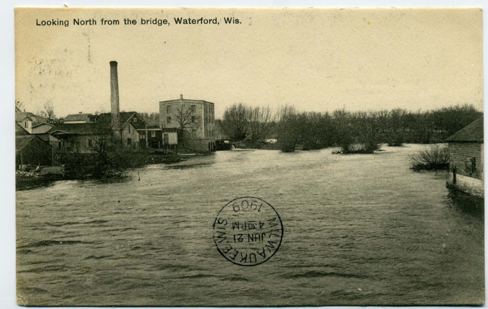
Initial surveys for the Village were done in 1842 and additions made in 1843. It wasn’t until 1845 that five Mill Sites were surveyed by Moses Vilas. The intent was to use the river and water power to build a dedicated area for commercial and industrial development. The Run-a-By canal, which diverted some of the water, and shown on the accompanying map, did not pass into Mill Site No.1. The diversion canal allowed others to use the waterpower downstream from the dam.

Water rights were sold on the basis of accessible flow, such as 200 square inches, which would be an opening of 10 inches high by 20 inches wide or some combination thereof. The amount of water flow controlled the speed and torque of the waterwheel. It does not take a lot of water flow to develop the power necessary to turn the wheel because it uses the potential energy of the six foot head and the weight of many gallons of water to develop the power.
The present Waterford Library and Village Hall are overlaid on the 1845 Mill Site map to add a current perspective to the locations of old buildings while reading text for each site.

Research shows that the various sites were most likely intended to each have their own separate identity. However, they became carved up to accommodate the needs of the business owners and the space they needed.
As the seasons change, the water flow changes which changes the power available from the source – plenty of water in the spring but minimal in late summer. As a result, the mill operators had to share the available water by scheduling the hours of access. This led to some of the mills to close while other businesses sprouted up that didn’t have a major dependence on the flow of water.
For almost 125 years, this short piece of shoreline on the Fox River was the heart and soul of the industrial activity in Waterford.
The Dam and each mill site are examined separately with access from the links below or the main menu.
The Dam
Mill Site No. 1
Mill Site No. 2
Mill Site No. 3
Mill Site No. 4
Mill Site No. 5
(Author’s note: Many sources have been researched to find as much factual information as possible. It is very scattered in multiple archives. However, we rely heavily on anecdotal writings to tell the story and sometimes there are inconsistencies in the sources describing the same places and time frames. We have made a great effort to provide accurate, relevant, and verifiable information to tell a timeline story with pictures and text – something that past chroniclers were not able to do. Should the reader have further contributions, please contact us at waterfordwiheritage@gmail.com.)
Lead Researcher: Robert E. Gariepy, Sr.
Sources
- Racine County Register of Deeds Archives.
- Wisconsin Digital Collection – Waterford Public Library.
